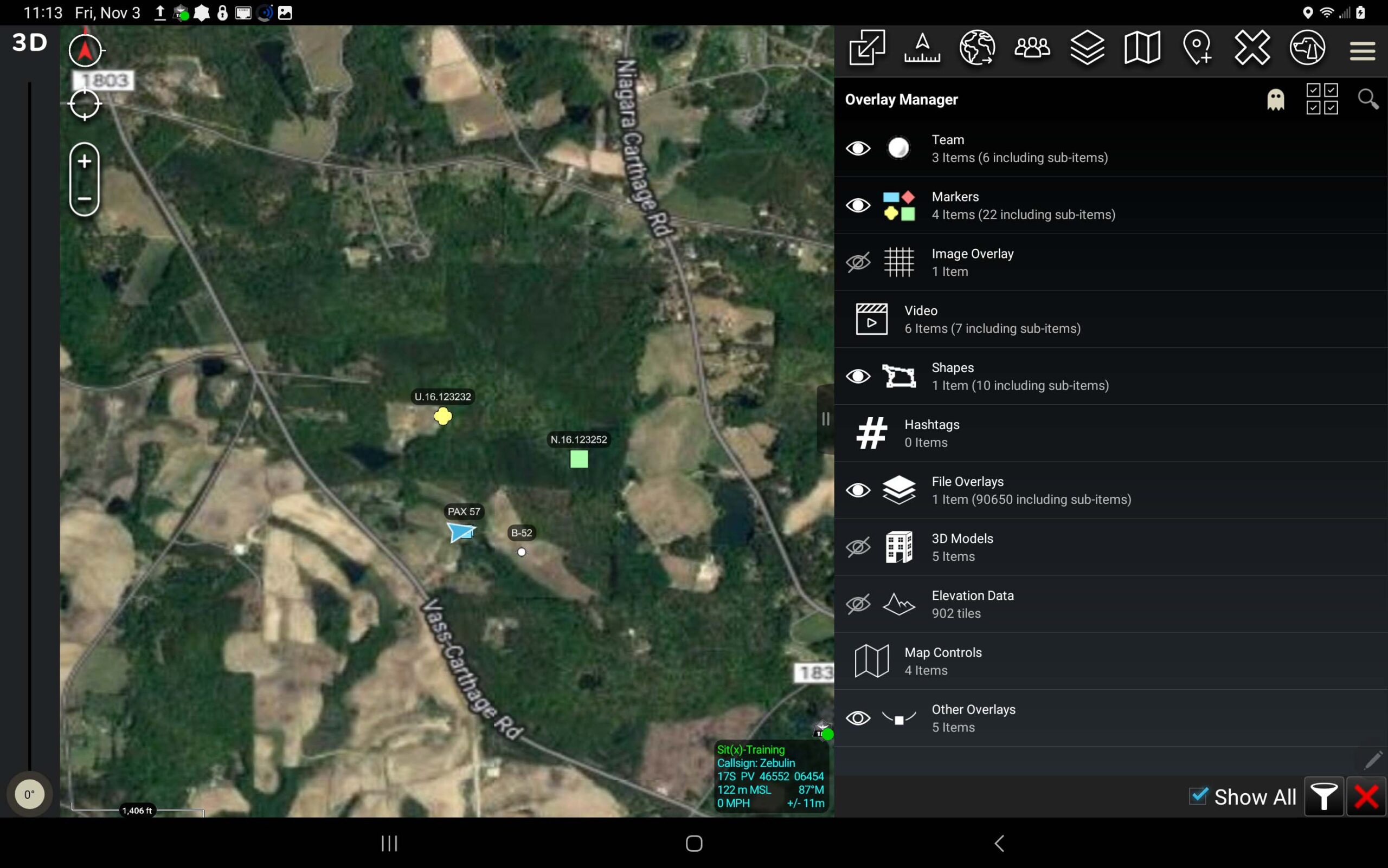
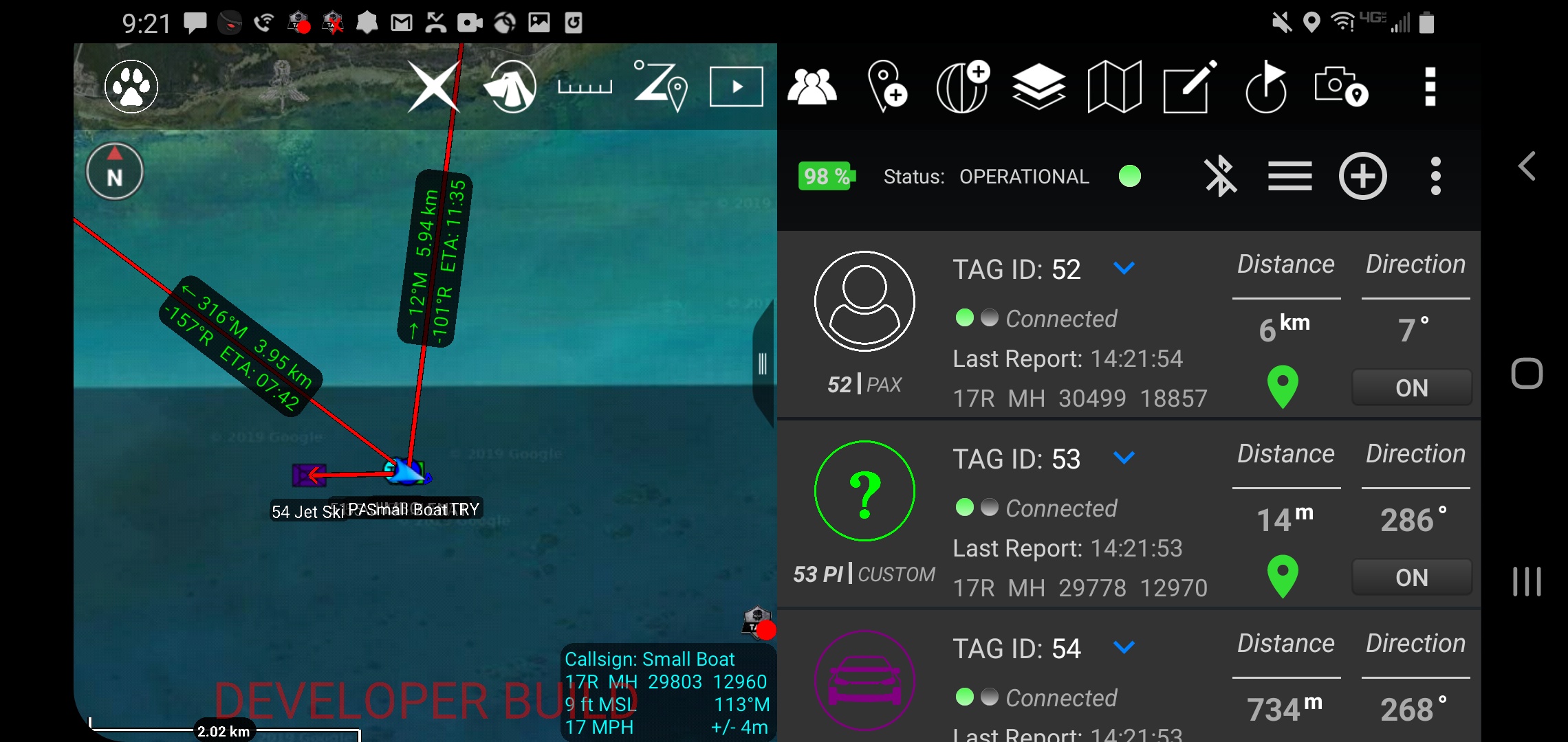
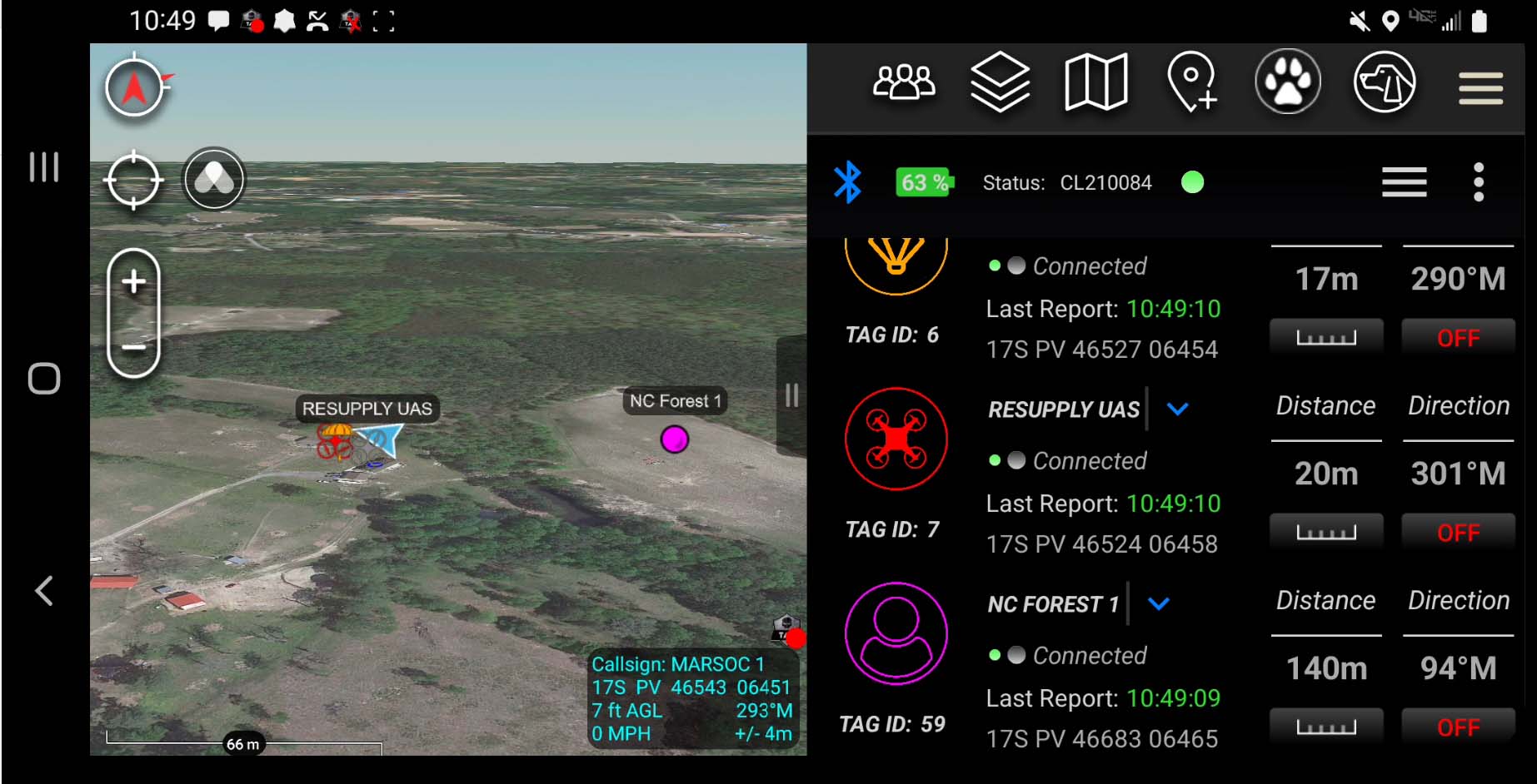
Coordinates in ATAK Mapping coordinate systems are derived from lines of Latitude and Longitude. Latitude lines start at the equator and climb 90° North (Northing) and 90° South (Southing). Lines of Longitude start at the Prime Meridien and travel 180° East (Eastings) and 108° West (Westings). As these lines cross, in degrees, minutes and sometimes […]
REad the post →
In an age of rapid technological advancement, the integration of robotics and cutting-edge technology is paving the way for solutions in various sectors. One of the most promising developments in this space is the Vision 60 Quadrupedal – Unmanned Ground Vehicle (Q-UGV), a product of Ghost Robotics and sold by Tough Stump Technologies. Vision […]
Where Did ATAK Come From? There are probably many origin stories about the creation of the Android Tactical Assault Kit or Android Team Awareness Kit (ATAK). At Tough Stump Technologies most of the senior members of the company fielded and assisted in the development of ATAK and some early plug-ins. 90% of the company served […]
REad the post →
What is TAK U: Team Awareness Kit or Tactical Assault Kit University is the first offering from Tough Stump University, a division of Tough Stump Technologies. This first installment of TAK U is an introduction to the basic functionality of the Android Tactical Assault Kit which is orientated for the military user. The second installment […]
Tough Stump Technologies is Now Offering the Teal 2 In a world that is rapidly advancing in technology, drones have taken a vital role in various applications, such as inspections, land mapping, and search & rescue. One such drone that has proven to be a game-changer is the Teal 2. Equipped with cutting-edge features and […]
REad the post →
In an ever-evolving landscape of technology, innovation takes center stage, and eBee TAC stands as a remarkable embodiment of this progress. If you’re searching for a transformative mobile mapping solution that seamlessly navigates disconnected environments, your search ends here. Let’s dive into the platform of eBee TAC and see how it’s revolutionizing the art of […]
Our Annual Tough Stump Rodeo: Uniting Cutting-Edge Technologies in a High-Tech Collaboration in Unforgiving Environments Every year, we are proud to host an extraordinary event that showcases the latest advancements in various technological sectors. This event is not your typical rodeo; it is a gathering of innovative minds and cutting-edge technologies, pushing the boundaries of […]
REad the post →
Blue UAS 2.0 Approval We’re excited to announce that the Blue UAS 2.0 approval makes the eBee Tac available to the DoD without a waiver, as well as to Federal Government customers. Want to learn more about this high accuracy tactical mapping solution? Check out our eBee Tac page. eBee Tac operates in […]
ATOS Tracking System ATOS provides a tracking solution for object on the battlefield or work site (to include working dogs, personnel, vehicles, aircraft, etc.) gives the user the upper hand which can make all the difference. With features such as: precision targeting, navigation, data sharing, and reconnaissance, the Android Tactical Observation and Surveillance system (ATOS) is […]
REad the post →
Third Annual Tough Stump Rodeo “Show and Tell” Event is set for June 14-17 in Adler, MT There’s no better way to understand mission critical technologies than to see them in action. With this in mind, Tough Stump Technologies, a Veteran-owned small business, will host a one-of-a-kind technology rodeo June 14-17 in remote […]