filed in
Products


featured post
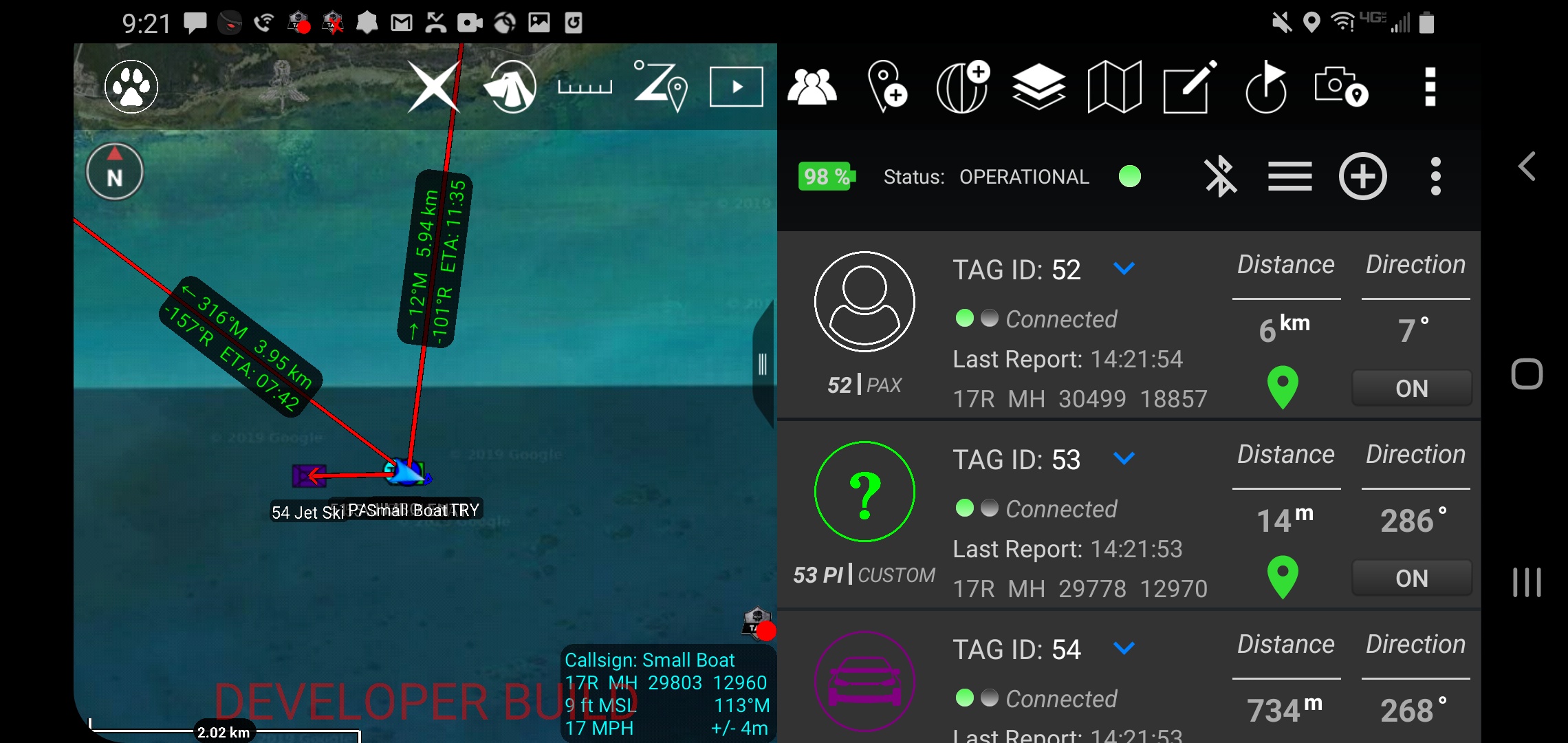
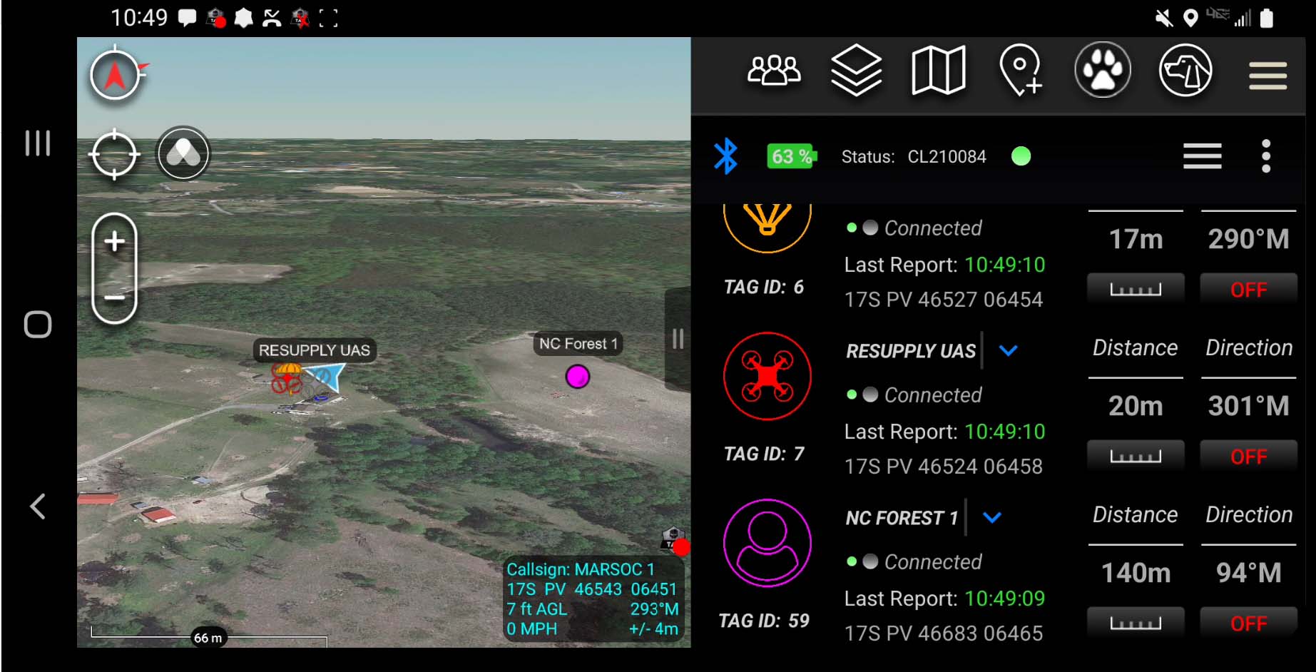
How ATOS Works: Android Tactical Object Surveillance or ATOS is a unique system that’s architecturally unmatched by another GPS tagging system. Here’s a pictogram to help explain how ATOS works : At the left hand side of the pictogram are the ATOS tags, both ATOS 1 and ATOS Flight. The tags receive GPS signal […]

category here
LATEST PRESS RELEASE
You can either type this featured post content manually or use a post look-up function in SHOWIT directly. It can also rotate between several posts.
Read More
browse popular categories


Learn more about
ATOS
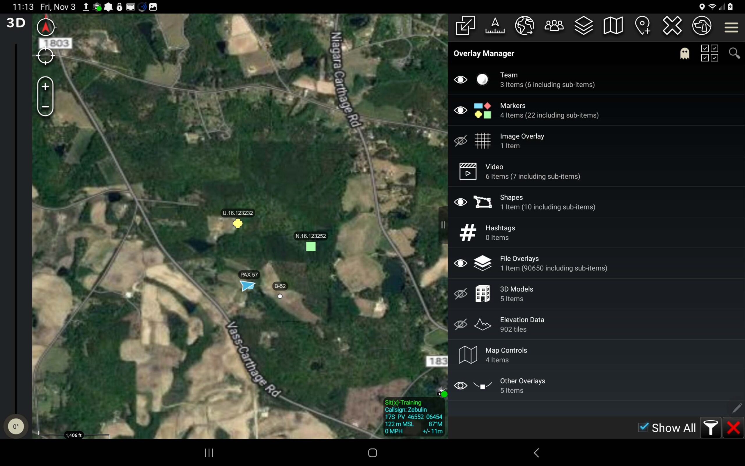
Locate Your Team, Equipment, and Assets in Real-Time with TAK Integration
view posts →


browse
Rodeo
The Tough Stump Rodeo is back to offer attendees an in-person opportunity to see products that can improve collaboration in operations and increase safety.
view posts →

