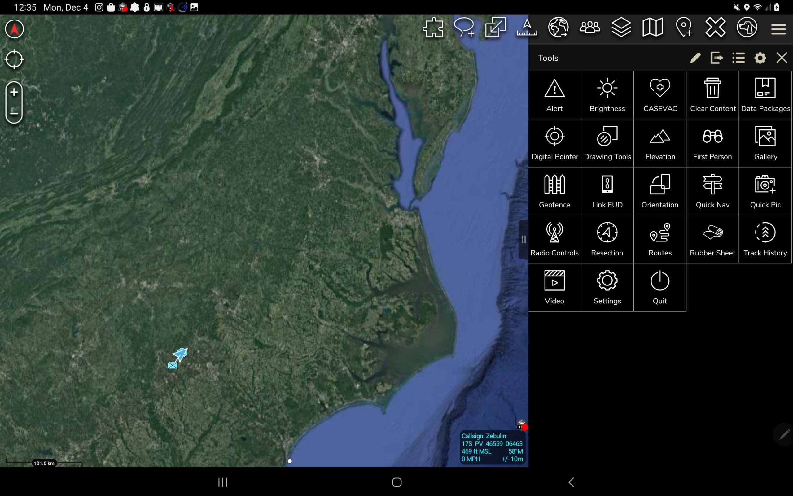
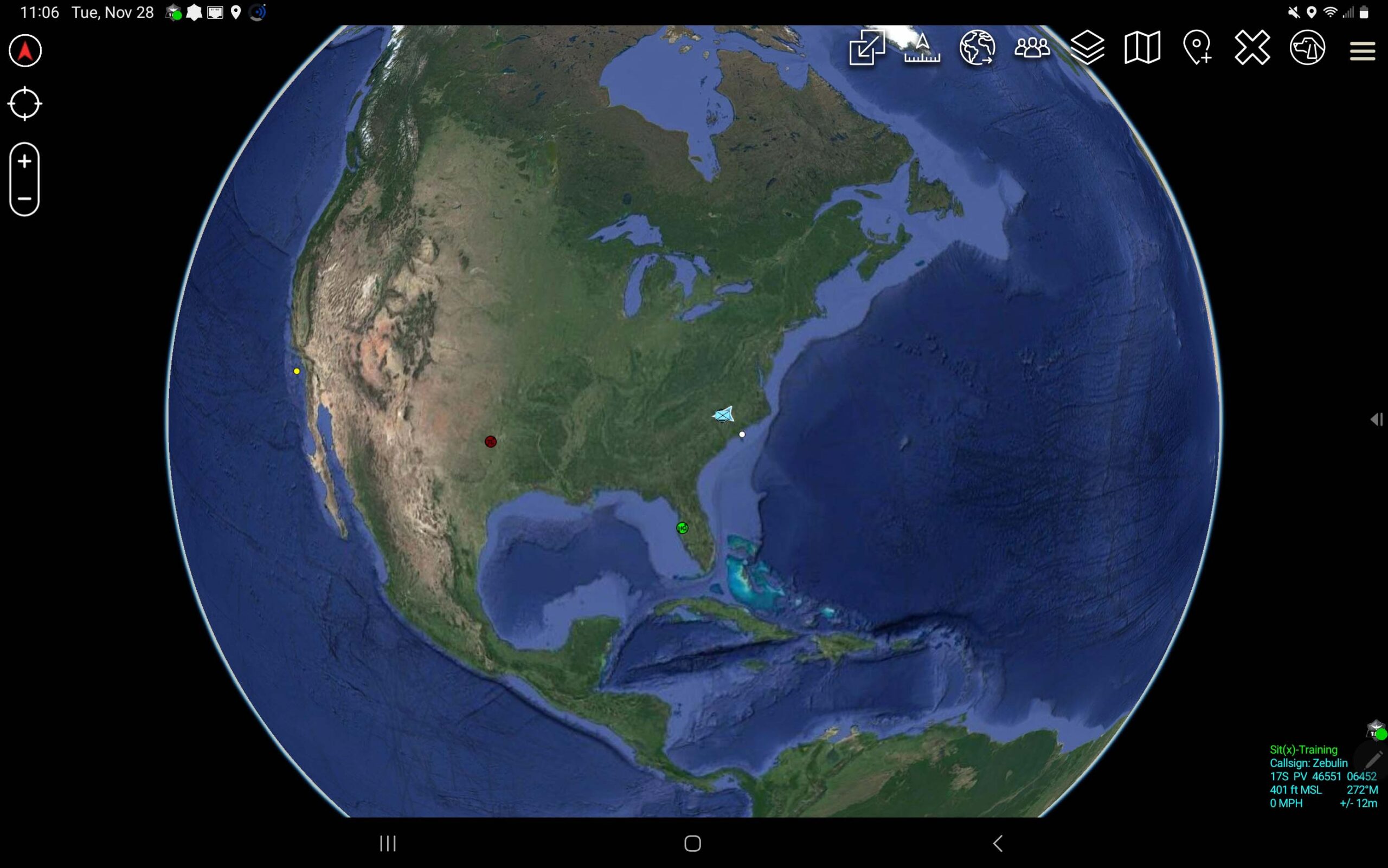
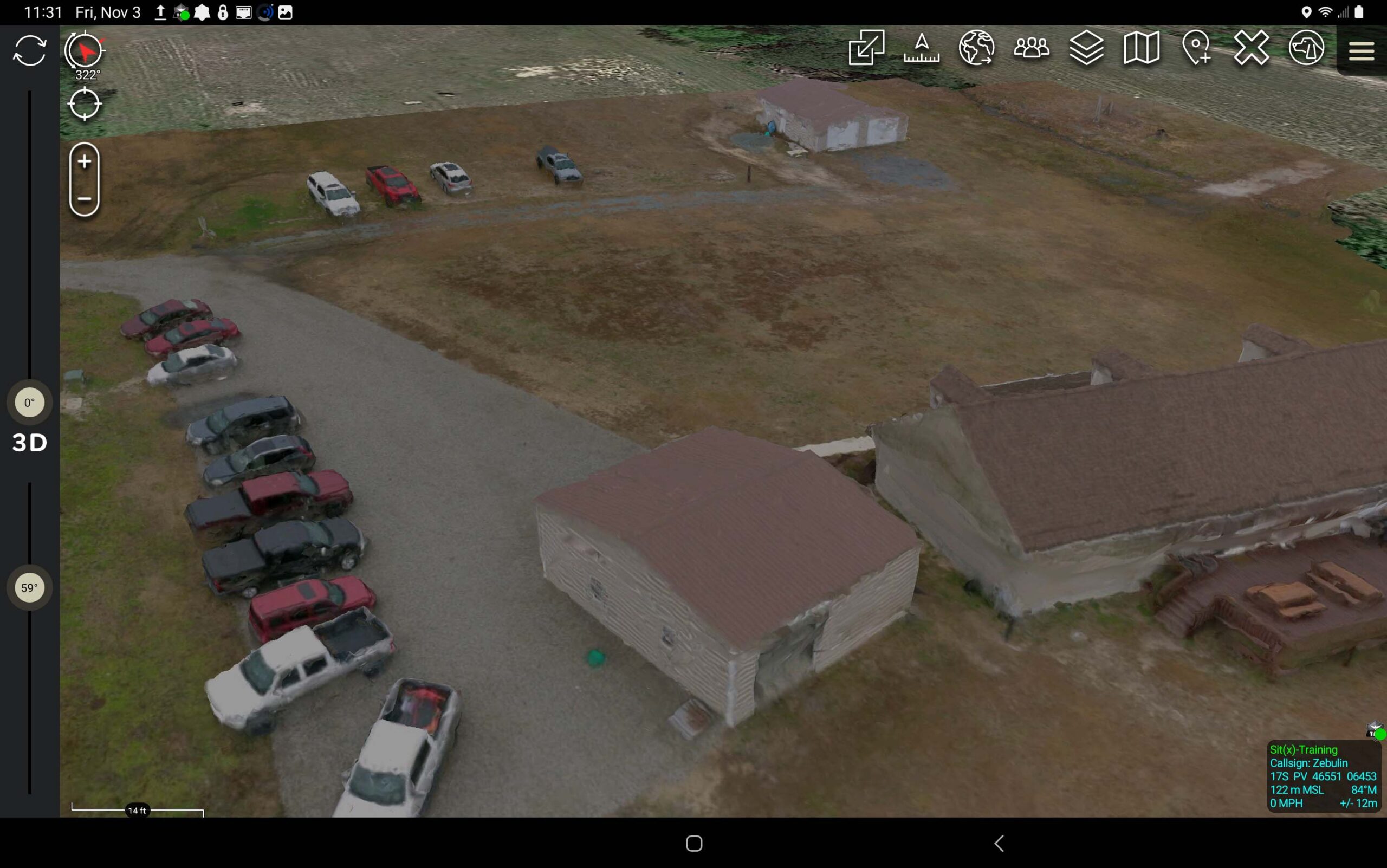
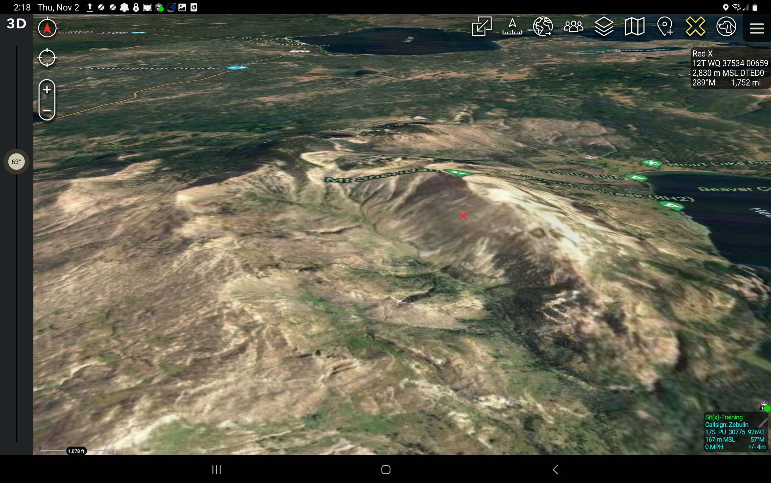
featured post

How to get 3D models in TAK: Surface terrain in ATAK/TAK is easily placed by loading DTED (Digital Terrain Elevation Data) to the back files of ATAK. What can be done to view objects that are on, and sometimes above the surface. ATAK will take user created digital 3D models by loading the correct files […]

3D models in TAK - TAK U

ATAK

How to Get 3D Models in TAK

How to get 3D models in TAK: Surface terrain in ATAK/TAK is easily placed by loading DTED (Digital Terrain Elevation Data) to the back files of ATAK. What can be done to view objects that are on, and sometimes above the surface. ATAK will take user created digital 3D models by loading the correct files […]

REad the post →

Coordinated in ATAK - TAK U

ATAK

Coordinates in ATAK: the 3rd Dimension

Coordinates in ATAK Mapping coordinate systems are derived from lines of Latitude and Longitude. Latitude lines start at the equator and climb 90° North (Northing) and 90° South (Southing). Lines of Longitude start at the Prime Meridien and travel 180° East (Eastings) and 108° West (Westings). As these lines cross, in degrees, minutes and sometimes […]

REAd the post →
ATAK

ATAK

Where Did ATAK Come From

Where Did ATAK Come From? There are probably many origin stories about the creation of the Android Tactical Assault Kit or Android Team Awareness Kit (ATAK). At Tough Stump Technologies most of the senior members of the company fielded and assisted in the development of ATAK and some early plug-ins. 90% of the company served […]

REad the post →

TAK U

Courses

TAK U: The Most Trusted Training Experts & Comprehensive Course Available

What is TAK U: Team Awareness Kit or Tactical Assault Kit University is the first offering from Tough Stump University, a division of Tough Stump Technologies. This first installment of TAK U is an introduction to the basic functionality of the Android Tactical Assault Kit which is orientated for the military user. The second installment […]

REAd the post →

ready to work together?

get in touch